Supplied Item:
1. Topographic maps with scale 1:5,000 and 10,000. (the maps of scale 10,000 are produced before 1983)
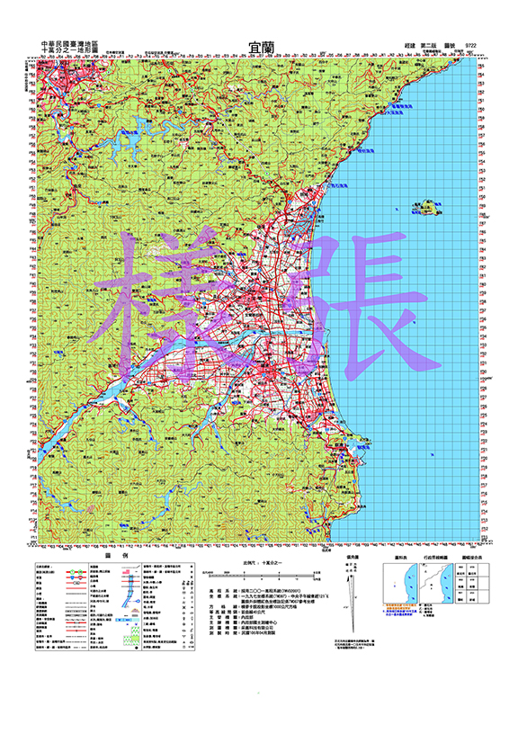
2. Small-to-medium scale topographic maps of scale 1:25,000, 1:50,000 and 1:100,000
 1:100,000
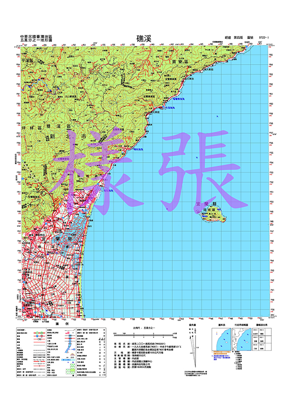 1:50,000
 1:25,000
3. Satellite image topographic map of scale 1:50,000
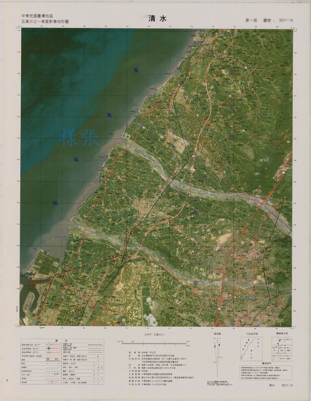 Satellite image topographic map
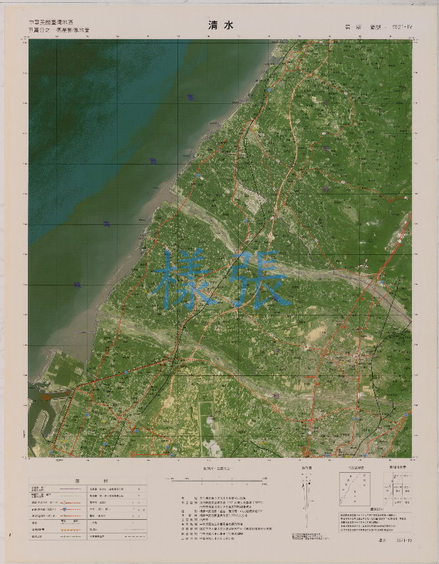 Satellite image map (without contour lines)
4. Taiwan topographic map of scale 1:400,000
Contents: Basic topographic maps data include 1:5,000 topographic map and the generalization products. The 1:5,000 scaled topographic maps are produced by photogrammetric method and field survey. The kinds of generalization products are topographic maps at scales of 1:25,000, 1:50,000, 1:100,000 and 1:400,000.