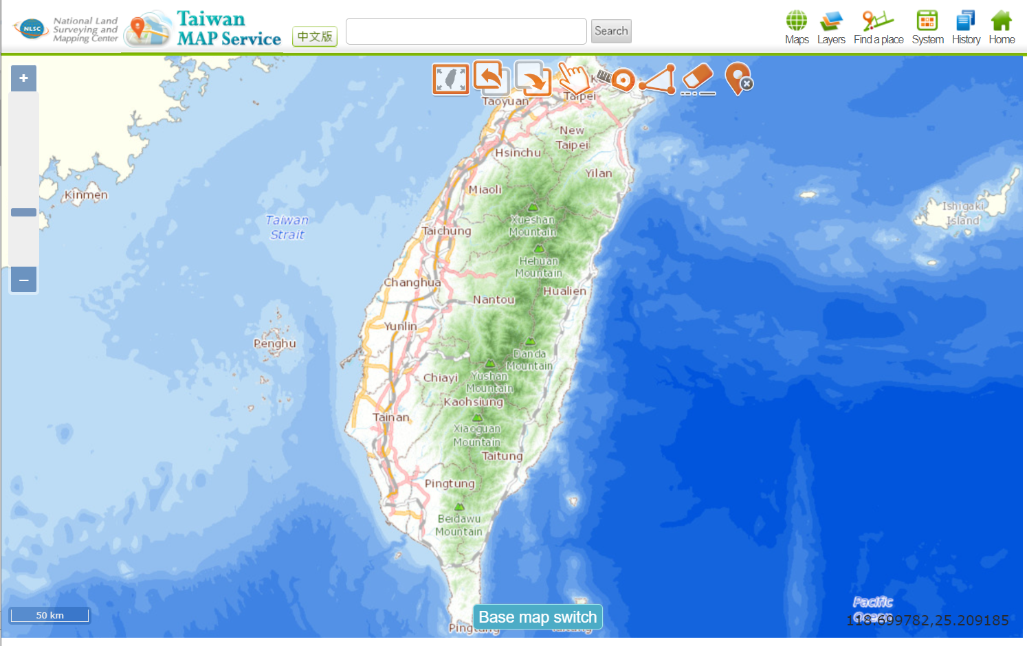
The National Land Surveying and Mapping Center (NLSC) launches an integrated information and service project, and creates the Taiwan Map Service (hereinafter referred to as the "Service") to show spatial data obtained across the government agencies.
The Service is being implemented to help agencies meet their mission needs. Also, a web map that general public is able to access the up-to-date spatial data from the NLSC, and commercial user that could connect our service to their website, showing location or display geospatial information.
The spatial data owned by the NLSC conform to the WMS, WMTS specification, no registration required are free service for everyone to access, includes Taiwan e-Map, Orthophoto, Land Use Investigation (LUI) map, Land Section Map, and Village Boundary Map. Related applications and other Web Map API services include the following two items:
1. Basic (embed a map image): The Basic API lets you embed a captured image on your webpage, all you have to do is drag your desired area on our map and note your mark, and the Service is going to create a URL of the image that users could download or add it in their blog.
2. Advanced (embed a map component): The Advance API lets you embed a marker on your map if you're developing a mapping website using Openlayers. Developers could create your own note on our Service , the Service will generate a text file that consisted by a JSON array.
