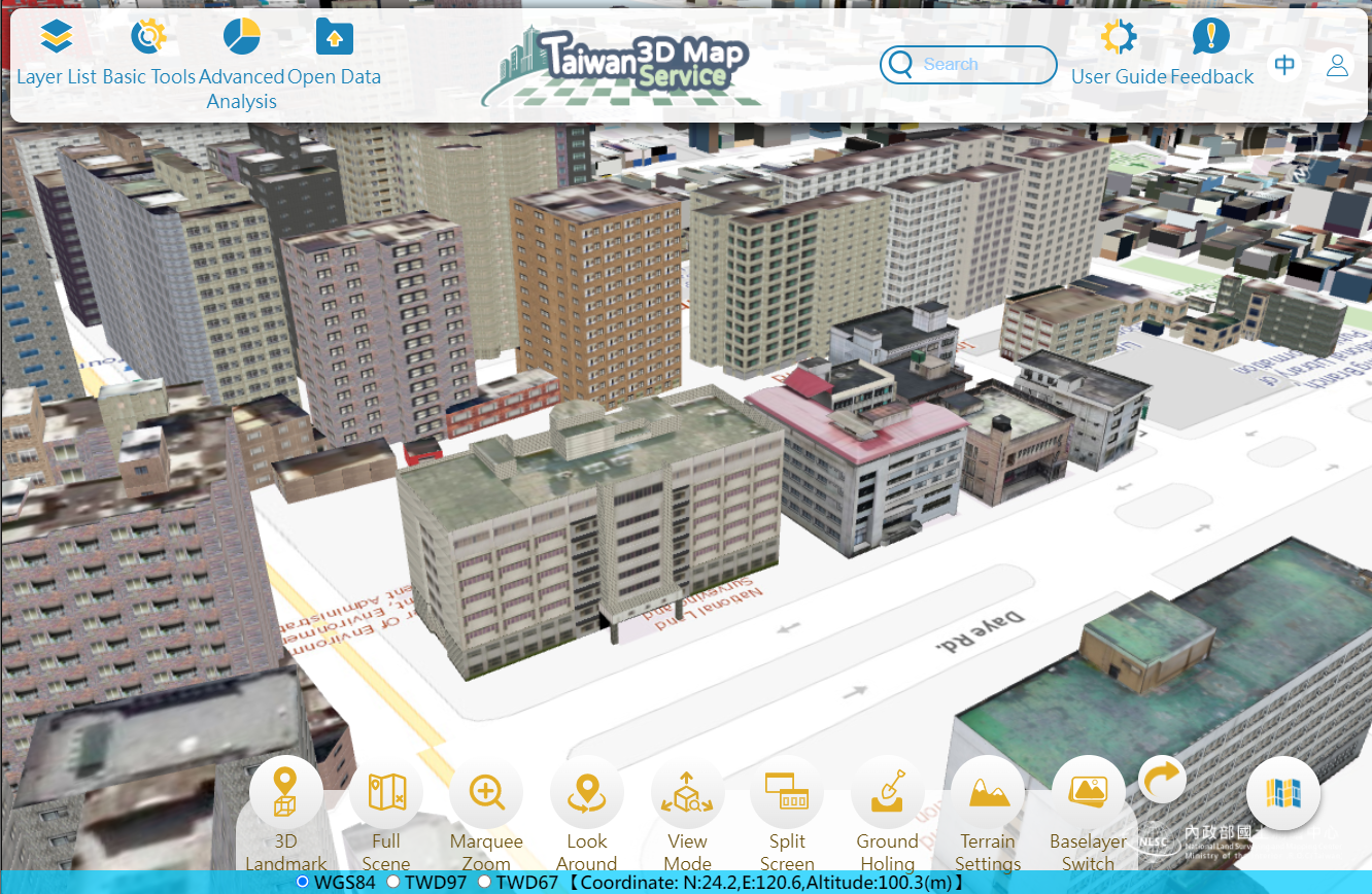
Various basic maps and data are managed by National Land Surveying and Mapping Center (NLSC), Minister of the Interior, including Taiwan e-Map, Base Map, Cadastral Map, and Land Use Investigation Map data. To promote and share all of the map resources, Taiwan Map Service, provide 2D web map service, has been established by NLSC. In addition, in order to be in line with the National Development Council in promoting the NGIS (National Geographic Information System), the existing 2D national map has been upgraded to 3D progressively. The implementation will be enforced from 3 standpoints: data production, standard-setting, and service platform construction.
Since 2019, NLSC has embarked on establishing “Taiwan 3D Map Service” system to provide 3D data browsing and web map service. Based on "Digital Terrain Model (DTM)", NLSC develops “Taiwan 3D Map Service” system and gradually incorporates national 3D building model and 3D road model. In order to present diverse spatial relationships in the real world, the existing 2D national map was upgraded to a 3D national map to execute the key strategy of “full construction first, refinement second”. In the future, Taiwan 3D Map Service will not only offer common services, but bringing a smarter and more convenient life to the public.
