For promoting the circulation and sharing of surveying and mapping results, users can apply for various surveying and mapping results by paying a certain fee in accordance with “Operation Directions for Circulation of the Computerized Surveying and Mapping Results of National Land Surveying and Mapping Center, Ministry of the Interior” and “Standards for service fees of the National Land Surveying and Mapping Center, Ministry of the Interior”.
The items to be provided include various scales topographic maps, cadastral maps, original results of digital cadastral surveying data, land parcellary plan data, results of control survey, Taiwan e-Map, integrated national land surveying and mapping data, and scanned results of archive cadastral maps. Among them, the electronic files of topographic maps, land parcellary plan data, and Taiwan e-Map are made available for agencies and organizations for the authorized value added purposes.
Taiwan MAP Store
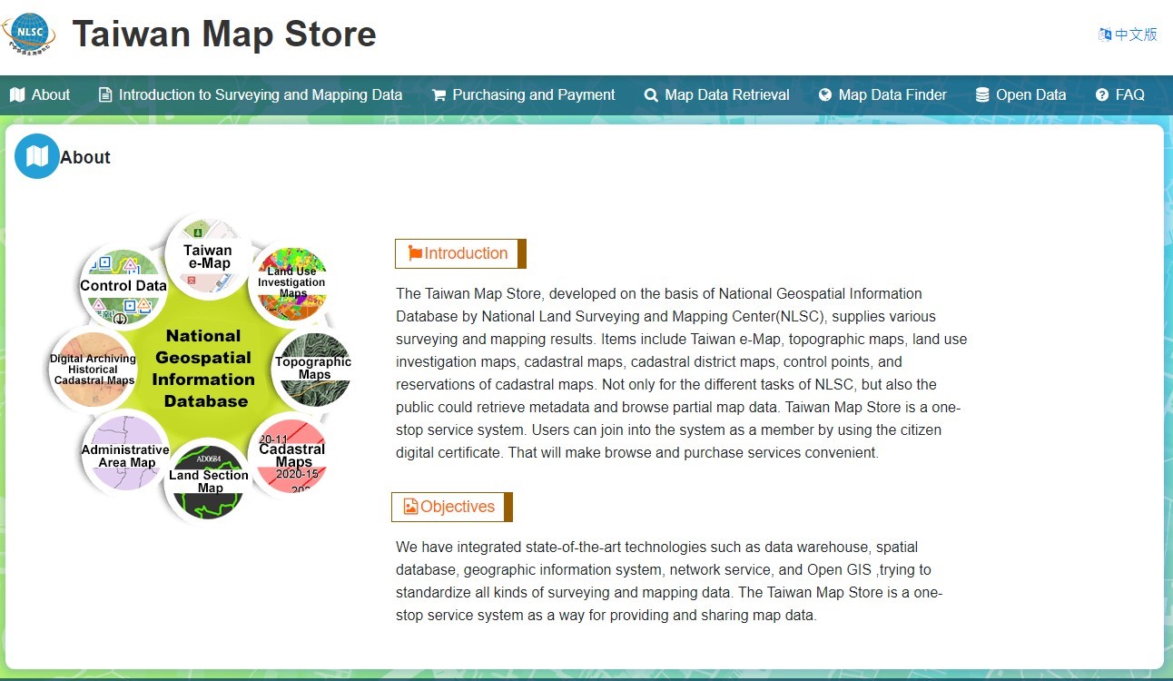
In order to facilitate user inquiries and purchases of surveying and mapping data provided by the National Land Surveying and Mapping Spatial Database, NLSC launched the “National Land Surveying and Mapping Information Integrated Circulation Warehousing Services Website” in 2013 and rebuilt the website in 2016 as the “Taiwan Map Store.” This platform allows the general public to perform non-membership metadata searches and browse parts of maps online. Users can also apply for membership via the Citizen Digital Certificate, TW FidO, or the Ministry of Economic Affairs Certification Authority (MOEACA) to purchase maps, enjoying a one-stop service for inquiries, browsing, and purchasing.

System Interface of Taiwan Map Store
Geoidal Undulation Model
The Taiwan area geoidal undulation model was authorized to provide by the MOI in 2014. Generally, there are 2 kinds of geoidal undulation models, gravity-based geoidal undulation model and hybrid geoidal undulation model. Currently, the hybrid geoidal undulation model with a rectangular applicable scope of 21 degrees to 26 degrees north latitude and 119 degrees to 123 degrees east longitude is only available for provision.
Software Authorization
For professional and administrative performance, the NLSC develops some software and systems. NLSC began accepting application for authorized software uses in 2014, and the variety of software includes systems of the cadastral re-survey data processing, Urban planning stakes data processing, cadastral investigation processing, adjustment program with conditions for supplementary control survey, digitized graphic cadastral map-fitting operating, traverse and triangulation adjustment program, Web Map Tile Service (WMTS) and Web Map Service(WMS) kits, and baseline network adjustment program for satellite surveying.